Incoming PhD Researcher · Geospatial AI

Tom Lovelock

Geoscientist · Remote Sensing & Geospatial AI

I develop and deploy drone-based remote sensing, multispectral & thermal imaging, and deep-learning methods to solve real environmental and Earth-observation challenges, from meteorite recovery to monitoring vegetation change.

Scroll
About

A research-focused geoscientist who builds new computational and field methods from first principles, and takes them into demanding field environments.

I hold a First Class BSc in Earth, Climate & Environmental Change and an MSc by Research in Earth Sciences, both from Royal Holloway, University of London. My work sits at the intersection of Earth observation, remote sensing, and applied machine learning, with a particular interest in geospatial AI for land management and ecological monitoring. I'm motivated by research with clear societal and environmental impact.

Drone remote sensing Multispectral & thermal imaging Deep learning Environmental fieldwork
The journey

From undergraduate to PhD

A steady progression through Earth sciences research, deepening technical skill and taking on increasingly independent, internationally-facing work.

Sep 2021 – Jun 2024
BSc Earth, Climate & Environmental ChangeFirst Class
Royal Holloway, University of London
Graduated with First Class Honours. Dissertation modelling aerosol light-scattering with the BHMie model; earlier project on contaminant flux at a former mining site.
May 2022
Environmental field sampling, Wheal Betsy, Devon
Royal Holloway · BSc research project
Executed a soil and water sampling programme at a former tin and lead mine, analysing the flux of arsenic and lead through local water systems.
Sep 2024 – Sep 2025
MSc by Research, Earth Sciences
Royal Holloway, University of London
Developed a novel drone-based framework for meteorite recovery on UK terrain, combining multispectral imaging, thermal profiling, and a YOLOv8 deep-learning detector.
Jul 2025
MetSoc talk & Outback fieldwork, Perth, Australia
Meteoritical Society · Curtin University
Gave an oral presentation at the Annual Meeting of the Meteoritical Society, then joined a five-day drone-based meteorite recovery campaign in the Australian Outback with the Curtin University team.
Upcoming
PhD: Geospatial AI for savannah monitoringIncoming
Manchester Metropolitan University
Species-level monitoring of woody-vegetation encroachment in African savannahs, integrating drone and satellite data through a hierarchical geospatial-AI framework, with field campaigns in South Africa.
Research

Featured projects

End-to-end research spanning UAS data acquisition, multispectral & thermal processing, and deep-learning model development.

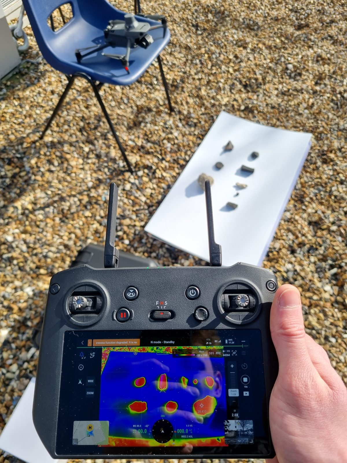
MSc by Research Thermal imaging view of rock samples during meteorite-recovery fieldwork, with drone and controller

Drone-based meteorite recovery on UK terrain

2024–2025 · Royal Holloway

A novel framework fusing three sensing modalities to distinguish meteorites from visually similar terrestrial rock against vegetated backgrounds, a first result of its kind.

  • Multispectral false-colour method (DJI Mavic 3 Multispectral) across green, red, red-edge & NIR, with altitude trials from 1–20 m.
  • Static thermal profiling (DJI Mavic 3 Thermal) characterising the diurnal heating and cooling responses of meteorites against common UK terrestrial rocks.
  • Built and iteratively trained a YOLOv8 object-detection model from scratch to distinguish meteorites from visually similar terrestrial rock against vegetated backgrounds.
MultispectralThermal imagingYOLOv8ImageJPythonUAS
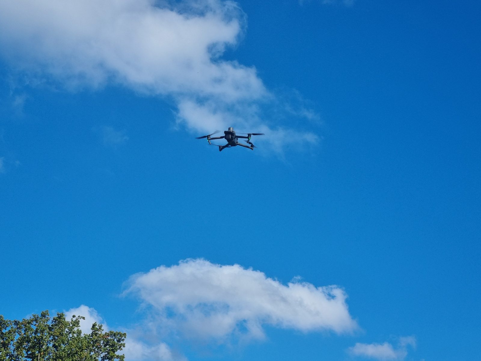
Incoming PhD Multispectral survey drone in flight against a blue sky

Hierarchical geospatial AI for species-level savannah monitoring

Upcoming · Manchester Metropolitan University

Woody-vegetation encroachment is reshaping African savannahs, with serious consequences for biodiversity, carbon cycling, and rural livelihoods. Current satellite frameworks treat woody vegetation as a single class; this project resolves it to individual species.

  • Hierarchical drone → very-high-res → medium-res satellite upscaling pipeline for label transfer at scale.
  • Self-supervised & interpretable deep learning fusing Pleiades Neo, Sentinel-1/2, EnMAP & GEDI data.
  • Field campaigns in South Africa, plus open-source tools (QGIS plugin & web map viewer) co-designed with government partners.
Self-supervised learningPyTorchSentinel-1/2Pleiades NeoGEDIQGIS
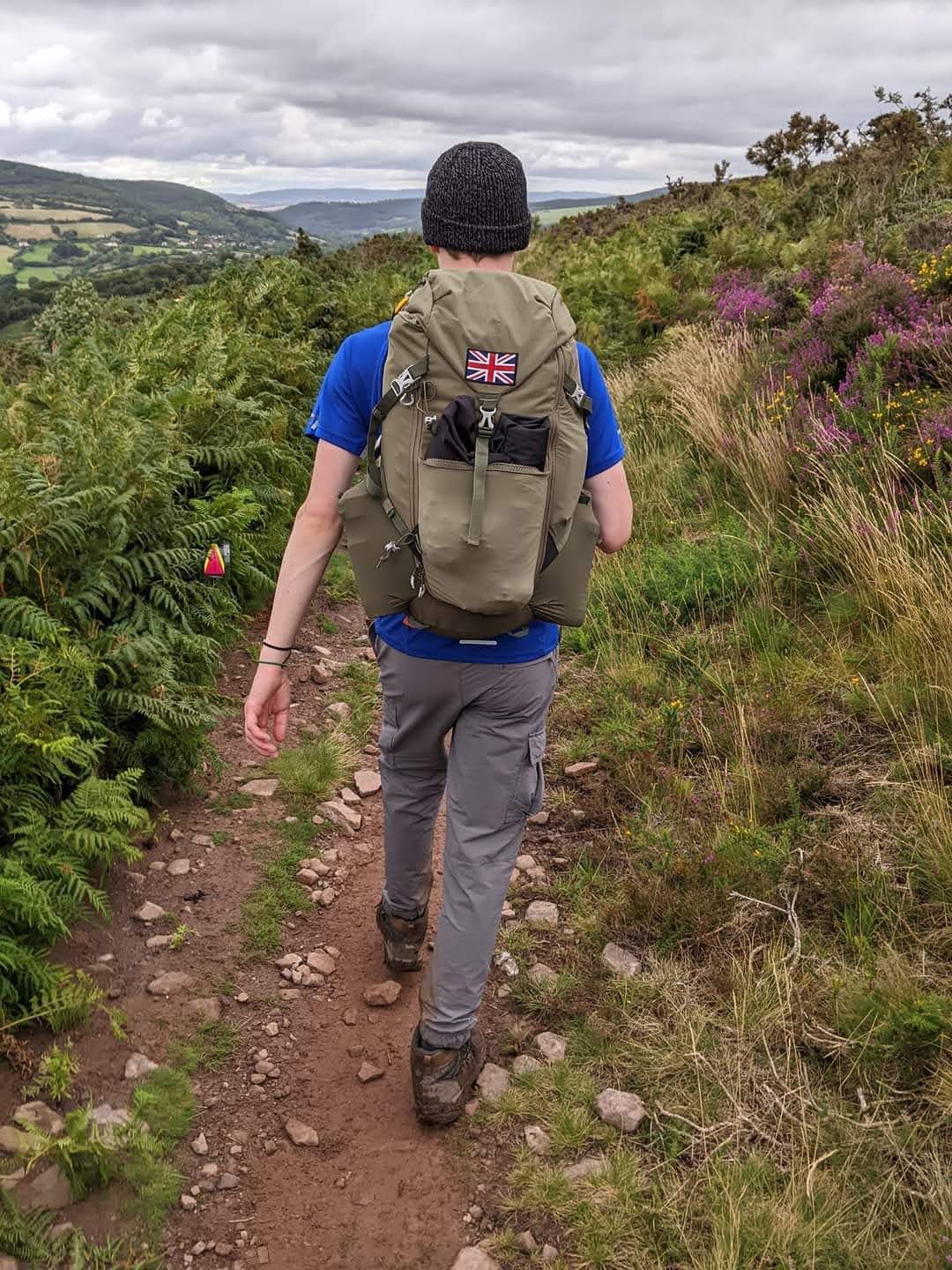
BSc projects Fieldwork in the UK uplands, hiking with a field pack across moorland

Undergraduate research

2021–2024 · Royal Holloway

Two independent, quantitative projects that built the computational and environmental-fieldwork foundations for my later work.

  • Dissertation: modelling aerosol light-scattering behaviour with the BHMie model, developing atmospheric modelling skills and a critical eye for model limitations.
  • Contaminant flux, Wheal Betsy: assessed the movement of mining-derived pollutants (arsenic, lead) through soil and water at a former tin/lead mine.
Atmospheric modellingBHMieEnvironmental samplingSystems analysis
Fieldwork

Where the work happens

From post-industrial Devon to the Australian Outback, and ahead to the South African savannah. Tap a marker to explore.

Field sites CompletedPlanned
Interactive map: click a marker or a site to focus
Outputs & recognition

Research contributions

Publication record and international engagement at an early career stage.

Conference abstract

Enhanced recovery of meteorite samples on UK terrain using drones, multispectral sensors & machine learning

Lovelock, Chan, Adam & Zhang (2025), Meteoritical Society Annual Meeting, Perth. Published on the Royal Holloway Research Portal.

View abstract
Collaborative paper

A Community Tool for Meteorite Searching Using Drones & Machine Learning

Contributing author with NASA Goddard Space Flight Center & Curtin University, authored the future-work section on next-generation drone-assisted recovery.

In preparation · NASA · Curtin · RHUL
Oral presentation

Meteoritical Society Annual Meeting 2025, Perth, Australia

Presented drone-based meteorite recovery methods to an international audience of planetary scientists.

Delivered · July 2025
Meteoritical Society
Member · 2024–present
Lyell (Geoscience) Society
Member · 2021–2024
Beyond research

Community & impact

Communication, empathy, and teamwork built outside the lab, in classrooms, communities, and the field.

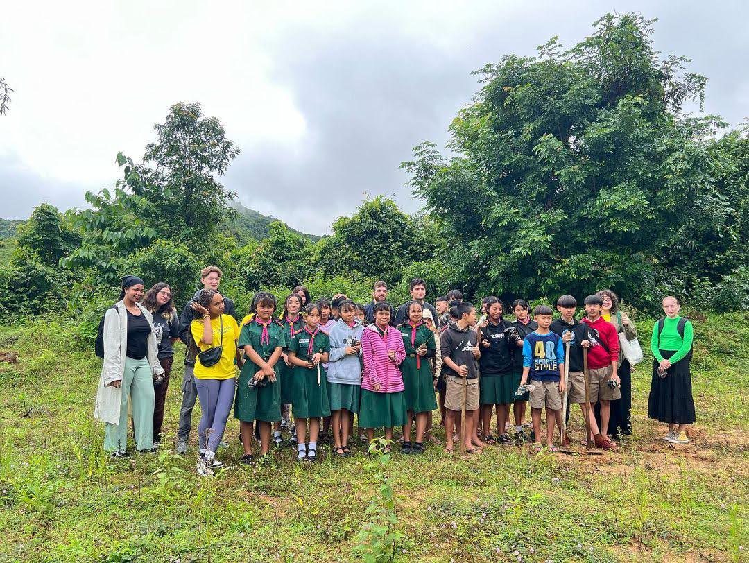
Volunteering with schoolchildren in rural Thailand, 2023
Social Impact programme, rural Thailand, 2023

Thailand: Social Impact 2023, Future Sense Foundation

2023 · rural Thailand

Planned and delivered English lessons in rural schools as part of a small team, adapting to different learning needs and cultural contexts in a resource-limited setting.

Police Support Volunteer, Basingstoke Community Court

Recognised by the Home Office · National Police Support Volunteer Team Award

Supported young offenders and their families through community-based resolutions, explaining proceedings, providing reassurance, and acting on their behalf in an official setting.

Contact

Let's talk research

Open to collaboration, fieldwork, and conversations about remote sensing, geospatial AI, and Earth observation.

Hampshire, United Kingdom